Connected · Routing, distances, geocoding
Mapbox, connected.
Connected. Routing, distances, geocoding
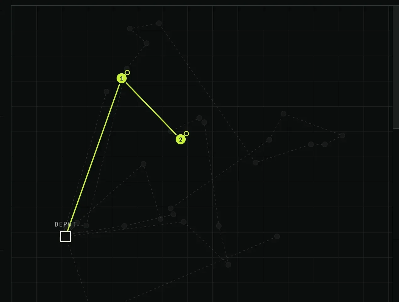
Yes. Market Run uses Mapbox and it is live today. Mapbox geocodes delivery addresses, returns the driving distance and time between every pair of stops, and draws the route the driver follows. The order the van visits its stops in is decided by Market Run's own optimiser against that matrix.
What moves, and which way
| Direction | What |
|---|---|
| Goes out | Delivery addresses, geocoded once and then held |
| Comes in | A distance and duration matrix between every stop on the round |
| Comes in | The drawn route, for the planner's screen and the driver's phone |
What is true today
- Geocoding, the distance matrix and route drawing are live.
- The stop order is not Mapbox's: it comes from the optimiser, which also holds the van's capacity, the compartment types, the driver's shift, the customer's delivery window and the delivery day rules.
Plainly
What comes next
- Live traffic re-routing mid-round is not in. The round is planned against typical driving times, not against this morning's jam.
Mapbox, asked plainly
- Does Market Run use Google Maps or Mapbox?
- Mapbox. It provides geocoding, the distance and duration matrix between stops, and the drawn route. The order of stops is decided by Market Run's own optimiser, which holds constraints a mapping service does not know about: van capacity, compartment types, driver shifts and each customer's delivery days.
- Can the driver use his own navigation app?
- Yes. The driver's screen shows the round and the next drop, and handing a stop off to whichever navigation app is already on the phone is one tap. Nobody is asked to learn a new way of driving.
Tell us what you run.
Name the system and you will get a specific estimate rather than a maybe. Most connections are about a day.